What are Urban Heat Islands & Why Should Insurers Care?
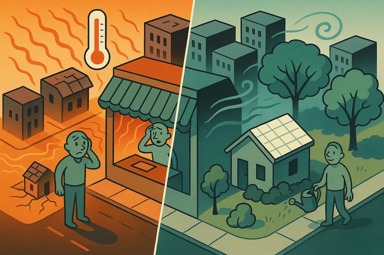
Urban Heat Islands (UHIs) are urbanised areas that experience significantly higher temperatures than surrounding rural areas. This phenomenon is caused by a combination of factors, including dense building materials (concrete, asphalt) that absorb and retain heat, lack of vegetation, and waste heat from human activities. UHIs are becoming increasingly important for insurers and lenders to understand because they exacerbate heatwave risks, impact building materials, and can affect property values.
How UHI Impacts Property Risk
Increased Heatwave Risk: Properties within UHIs are more vulnerable to extreme heat events, leading to higher risks of heat-related damage (e.g., roof damage, subsidence due to soil drying) and potential health impacts for occupants.
Building Material Degradation: Elevated temperatures can accelerate the degradation of building materials, particularly roofing materials and asphalt pavements, leading to increased maintenance costs and potential claims.
Higher Energy Consumption: Buildings in UHIs require more energy for cooling, leading to higher utility bills and potentially impacting affordability for occupants (and, thus, indirectly, mortgage risk).
Property Value Impacts: As awareness of UHI effects grows, properties in affected areas may experience reduced desirability and potentially lower market values, impacting both insurers and lenders.
Subsidence: Increased temperatures can dry out soils, making them more prone to subsidence.
How Insurers and Lenders Can Respond
Refine Risk Models: Incorporate UHI data into risk assessment models to more accurately price policies and assess mortgage lending risk.
Promote Mitigation Measures: Encourage property owners to implement heat-mitigation strategies, such as cool roofs, green roofs, and increased tree planting. Offer incentives or discounts for such measures.
Develop Targeted Products: Consider offering specialised insurance products or riders that address the specific risks associated with UHIs.
Use Geospatial Data: Leverage Chimnie's data on building materials to identify properties within UHIs and assess their specific risk profiles.
Challenges & Considerations
Data Granularity: Accurately identifying and mapping UHIs requires high-resolution data.
Dynamic Effects: UHIs are not static; their intensity and extent can change over time due to urban development and climate change.
Public Awareness: Many property owners and even some professionals are unaware of the risks associated with UHIs.
What’s Next?
Urban Heat Islands are a growing concern, particularly in the context of climate change. Insurers and lenders need to understand the risks associated with UHIs and incorporate this understanding into their risk assessment, pricing, and product development strategies. Chimnie's data can provide the granular insights needed to navigate this emerging challenge.
Want to learn more about how to integrate UHI data into your risk models? Let's talk. Get in touch at hello@chimnie.com to discuss how Chimnie can help you assess and mitigate UHI risks.