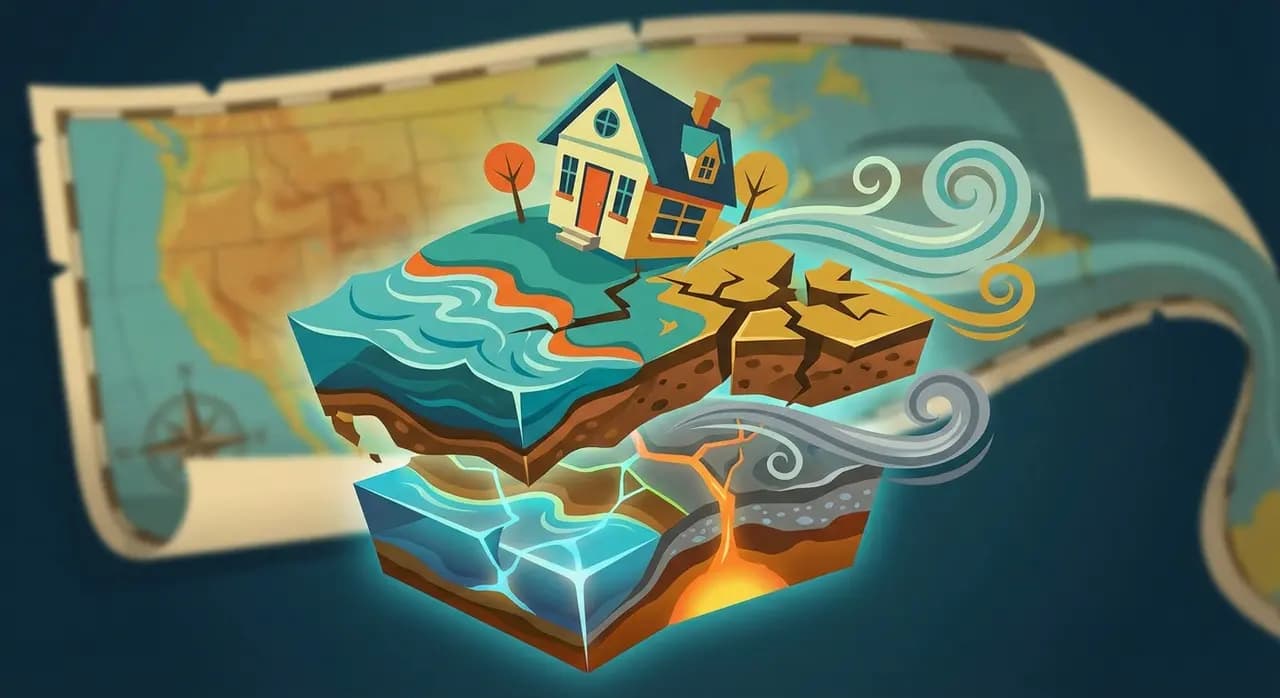
Climate risks are intensifying, and the insurance industry is feeling the heat. Weather-related property claims are surging, driven by increasing flood, subsidence, and even air pollution events. To thrive in this changing environment, insurers and property professionals need to fundamentally reassess how they evaluate and mitigate environmental threats. This requires a shift from broad-brush assessments to precise, property-level geospatial data that enables real-time risk analysis and proactive decision-making.
Beyond Postcodes: Why Traditional Risk Models Are Failing
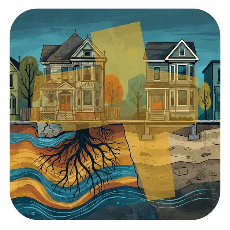
The UK's climate is no longer predictable. Extreme weather events are becoming more frequent and severe, rendering traditional underwriting models, which rely heavily on postcode-level data and historical trends, increasingly inadequate. These outdated approaches fail to capture the granular, property-specific risks that determine actual exposure.
Consider these crucial differences:
Flood Risk Variance: Two homes on the same street might have vastly different flood vulnerabilities based on subtle elevation changes, drainage quality, and proximity to even small surface water sources. Postcode-level data simply can't account for this.
Subsidence Complexity: Accurately assessing subsidence risk requires factoring in soil composition, nearby tree coverage (and their root systems), and historical ground movement data. Generic models often underestimate this risk.
Air Pollution Microclimates: Air pollution levels can fluctuate dramatically within short distances due to road proximity, prevailing wind patterns, and the density of urban development. This impacts not only property desirability but also long-term health implications for residents.
Granular Geospatial Data: The Key to Informed Decisions
Insurers who embrace high-precision geospatial data gain a critical advantage. They can more accurately assess risks and empower policyholders to take preventative measures. Chimnie’s geospatial intelligence provides the detailed insights needed to make this shift, including:
Surface Water & Reservoir Flood Risk: We predict the likelihood and severity of flooding at the individual property level, going far beyond basic flood zone maps.
Ground Stability & Subsidence Risk: Evaluate shifting soil conditions and their potential impact on structural integrity with detailed analysis.
Air Pollution Data: Assess environmental hazards, including specific pollutants, that directly affect property values and long-term livability.
Tree Hazard Index: Understand how tree proximity contributes to both subsidence risk and the potential for direct property damage.
From Reactive to Proactive: The Competitive Advantage
Access to real-time, detailed property data allows insurers to move beyond simply pricing risk. It enables a proactive approach to risk management, offering significant benefits:
Precision Pricing: Price policies more accurately, avoiding overcharging low-risk customers while appropriately mitigating exposure to high-risk properties. This improves both profitability and customer satisfaction.
Proactive Mitigation: Offer tailored recommendations to homeowners. For example, advise those in subsidence-prone areas to consider soil stabilisation measures before a problem arises.
Streamlined Claims: Support policyholders during claims with faster, more accurate assessments by leveraging up-to-date geospatial insights. This reduces processing time and improves the customer experience.
Future-Proofing Insurance: Geospatial Intelligence is Essential
As climate risks continue to evolve, geospatial intelligence is no longer a "nice-to-have" - it's a necessity for survival. Insurers who fail to adapt risk escalating claims costs, shrinking market share, and growing customer dissatisfaction. Chimnie is committed to providing the highest-quality property risk data, empowering insurers to price accurately, predict confidently, and prevent effectively.
Ready to upgrade your risk assessment and embrace climate resilience? Speak to our team about your specific needs, or explore our API portal to discover how Chimnie's geospatial data can transform your approach. [hello@chimnie.com]